
Geoworks is a Greenworks-sponsored project focusing on geotourism and river and soil health in various regions throughout Western Ukraine.
About

Carpathians, Opillia, and Podillia
Culture and geology are intertwined. In Western Ukraine, there are the Carpathian Mountains (green) and their various mountain cultures, the Opillia region (brown), and the Podillia region (yellow). Geotourism, clean river, and soil health projects are being developed along the Sukel’ River in the Carpathian Mountains and with villages and cultural centers near Lviv, Ternopil, and Kamianets-Podilskyi.
We are working with faculty at Lviv Polytechnic, Lviv National, and Precarpathian Professional College of Forestry and Tourism to help them develop an extension network with local communities.
Who Lives There?

A number of Carpathian groups live throughout the mountains, including the Lemkos, Boykos, and Hutsuls. The Sukel’ River Valley lies within the traditional lands of the Boykos. The current residents of the villages in the region primarily engage in agriculture, forestry, and ecotourism. The Opillia and Podillia regions, meanwhile, are renowned for their artwork.
What are We Doing?

We are working to develop a robust extension community involving Lviv Polytechnic and communities and educational institutions in the Sukel’ River Valley region, Ternopil, and Kamianets-Podilskyi to develop knowledge, research, and teaching resources about geotourism, geoforms in the local regions, as well as river and soil health.
What is Geotourism?
Geotourism is a form of tourism that focuses on a region’s geological features, landscapes, and natural environments while promoting conservation, sustainability, and education. It aims to provide visitors with an understanding of and appreciation for the geological heritage and processes that have shaped the Earth’s surface, such as rock formations, fossils, volcanic activity, and other natural phenomena.
Geotourism is closely tied to geoethics, a field of study that studies the interactions of humans and the physical environment. Geoethics thinks deeply about the duties and responsibilities of humans as they interact with Earth systems. Sustainable geotourism is one way of helping highlight these Earth systems and the ethics of interacting with the system.
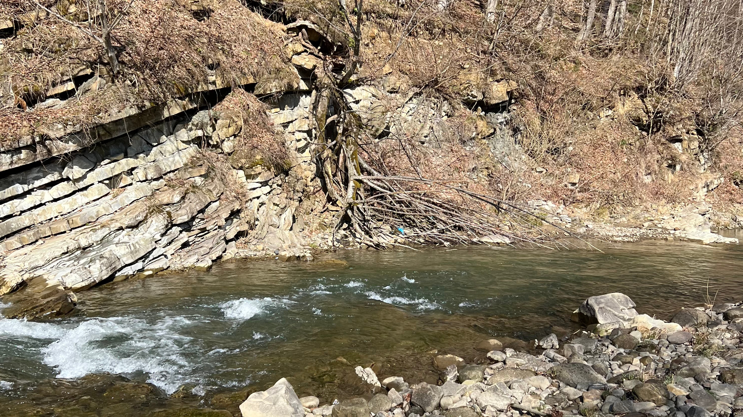

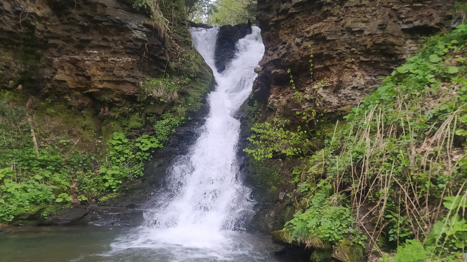
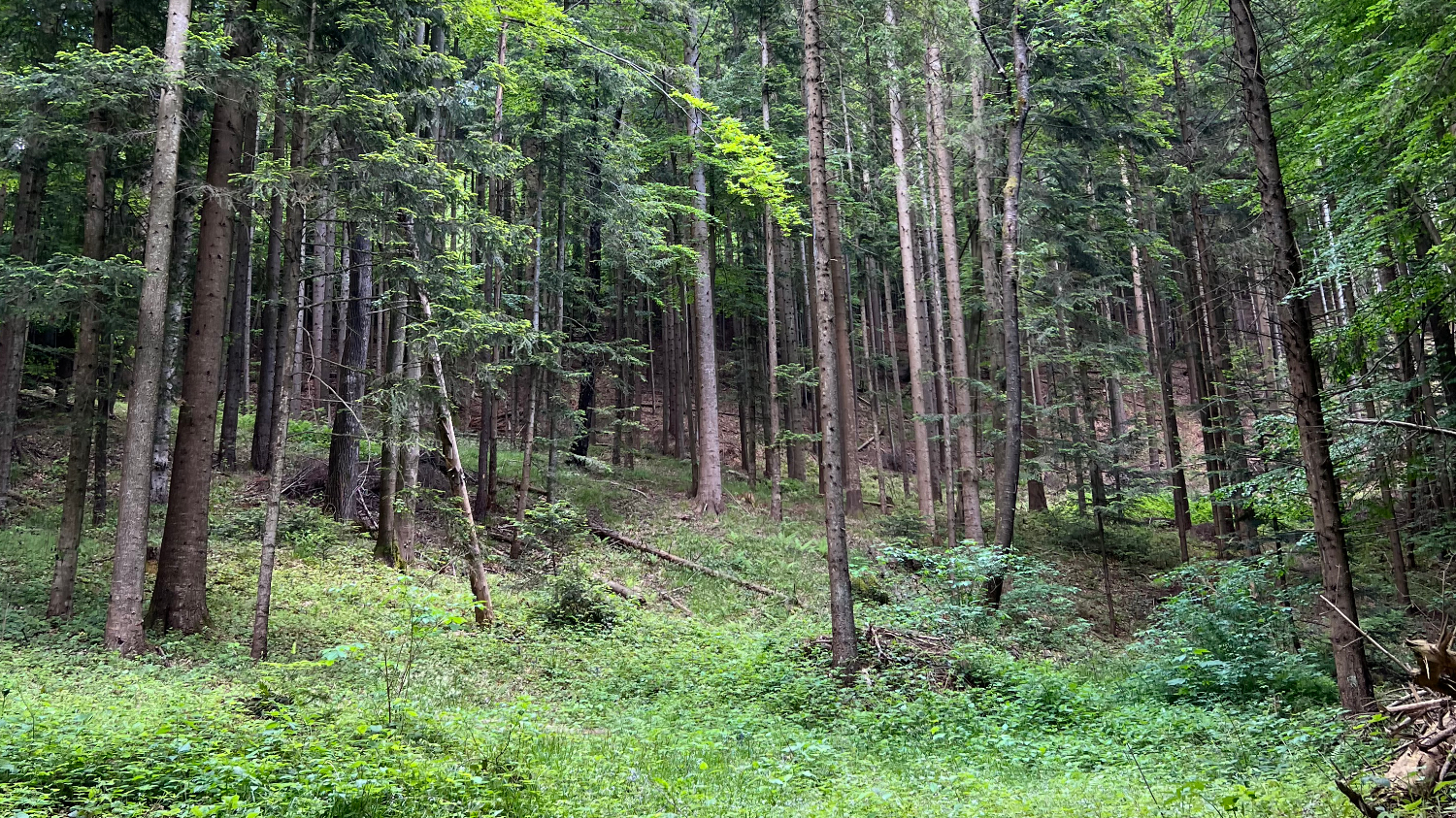
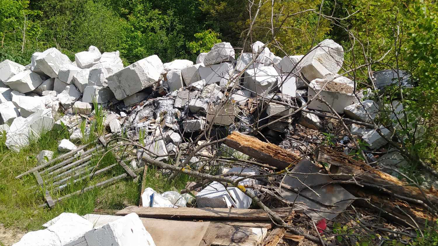
1) The Sukel’ River and its geoforms; 2) Flukovi Rocks along the Sukel’ River; 3) Kozakivka Waterfall on the Sukel’ River; 4) Carpathian forest; 5) Illegal construction dump along the Sukel’ River; 6) Ihor sampling the water of the Sukel’ River for further analysis [photos by Ihor Bubniak]
Project Progress
Project Roadmap
2026 Roadmap
- Scout out new geotourism sites and discuss expansion of Geoworks with local villagers and educators in the region
- Offer the Greenworks Project Design curriculum to students at Lviv Polytechnic and partner schools in Lviv, Bolekhiv, and Kamianets-Podilskyi
- Develop digital learning resources for geotourism and research projects in the Sukel’ River region and associated towns and villages
Beyond 2026
- Train community members in basic research methodologies for river monitoring and clean-up
- Expand project to investigate soil health and cleanliness in the Sukel’ River valley and associated communities
- Develop renown geotourism program and expand to nearby communities and river systems
Recent Updates
2026
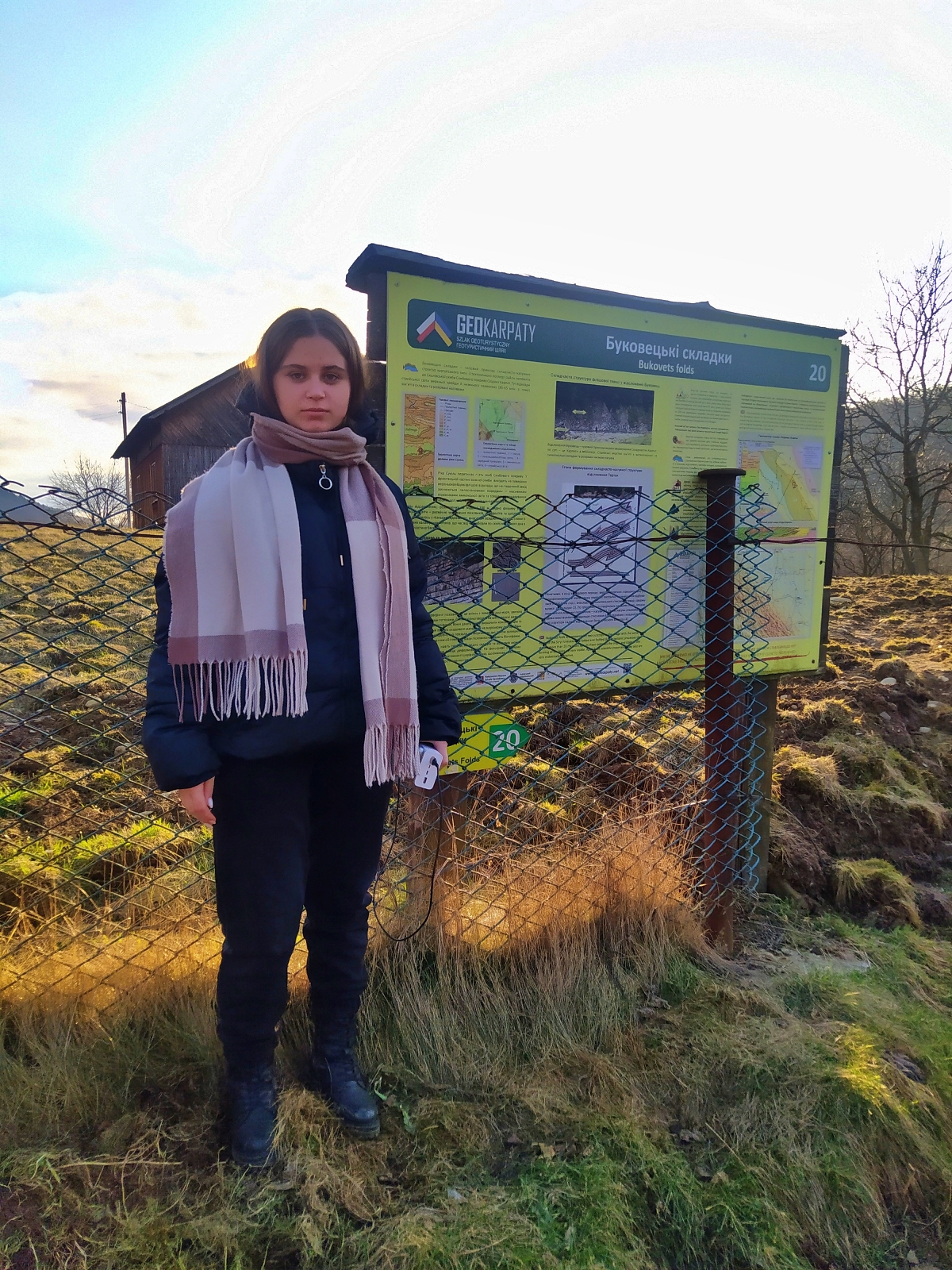
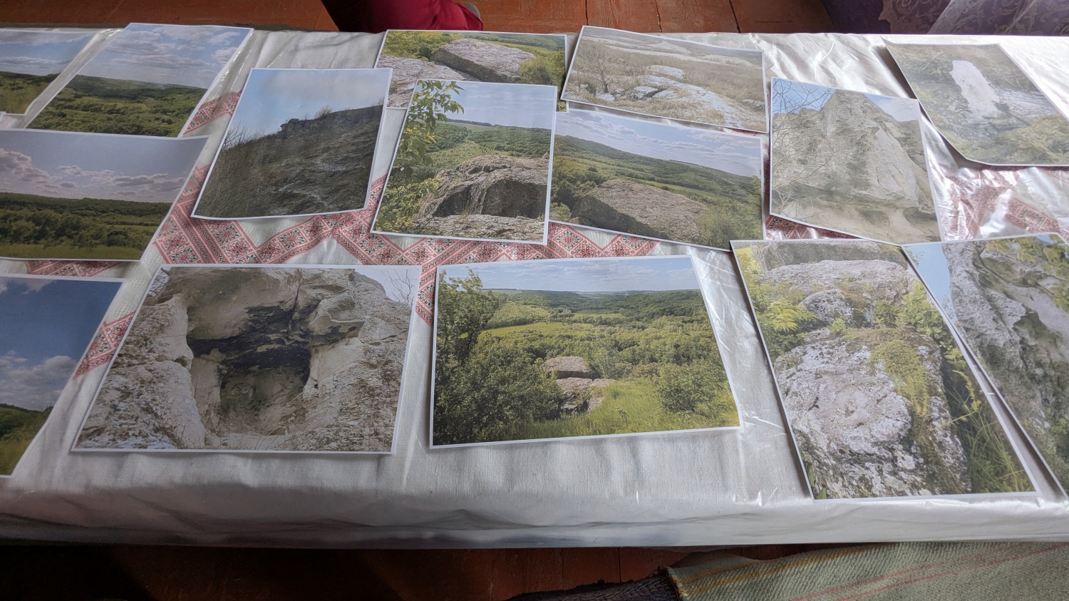
- April 2026 – Ihor and Andrii continued to explore the Opillian region, this time documenting and mapping trace fossils near the village of Bohutyn and sandstones near Svirzh Castle.
- March 2026 – Ihor and Andrii began scouting the Opillian region between the Carpathian Mountains and the Podillian region for geoforms and geotourism sites. They visited the Pryima Cave near Mykolaiv and explored the foothills of the Carpathian Mountains.
2025
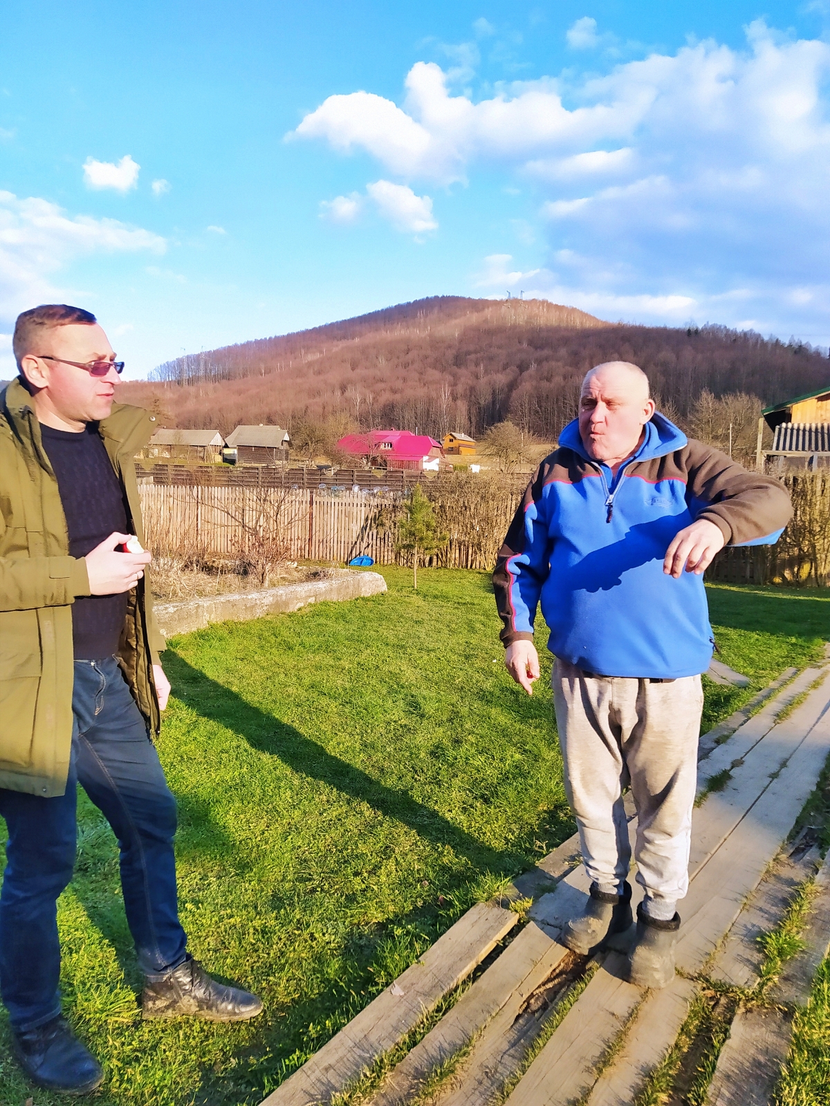
- September 2025 – Lev met with Ihor and Andrii in Lviv to expand teacher training in the Project Design curriculum to new teachers, then they traveled to the Podillia (near Moldova) and Sukel’ River (Carpathians) regions to observe geotourism projects, explore the geology of the regions, and chat with locals.
- June 2025 – The Greenworks Project Design curriculum began with students from across Lviv, who will be working on designing geotourism and environmental education projects in the Sukel’ River region.
- May 2025 – Ihor and his team completed fieldwork in Kniazhouluka, Stankivtsi, and Bubnyshche where they identified potential sites of geotouristic interest, recent landslides because of heavy rains, and existing tourism infrastructure.
- March 2025 – Ihor and Lev worked to prepare the Project Design curriculum in Ukrainian to be used with students at Lviv Polytechnic, Ivan Franko National University of Lviv, and Precarpathian Professional College of Forestry and Tourism.
2024
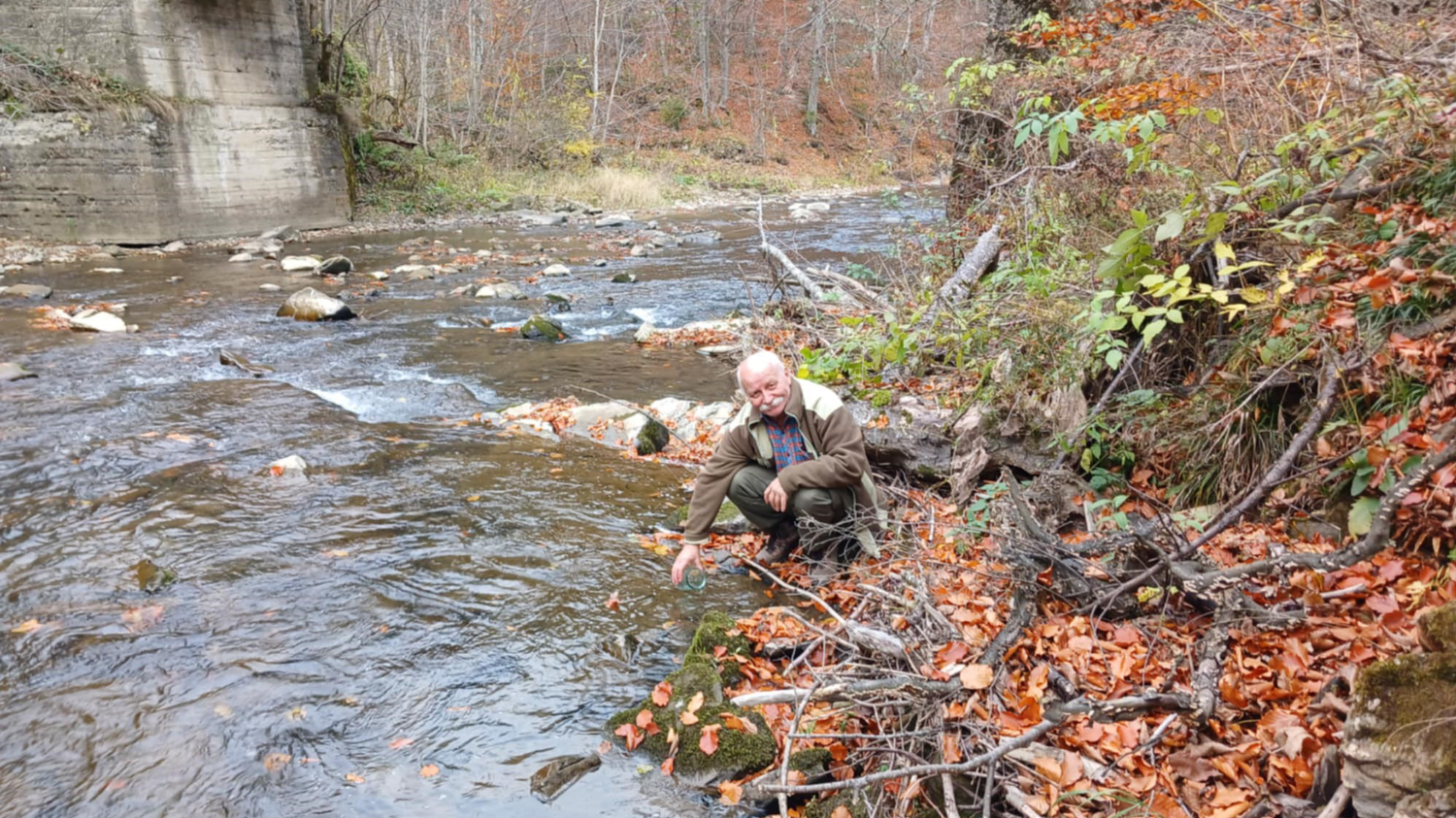
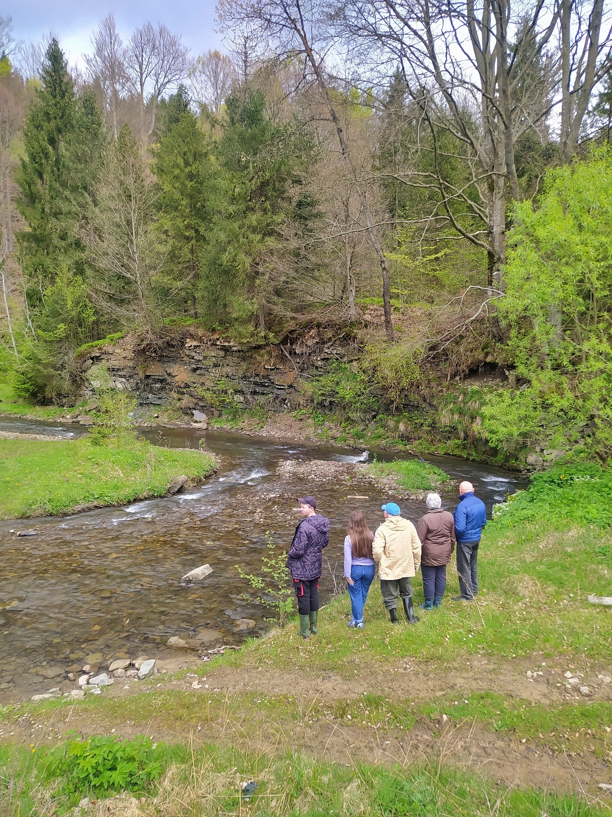
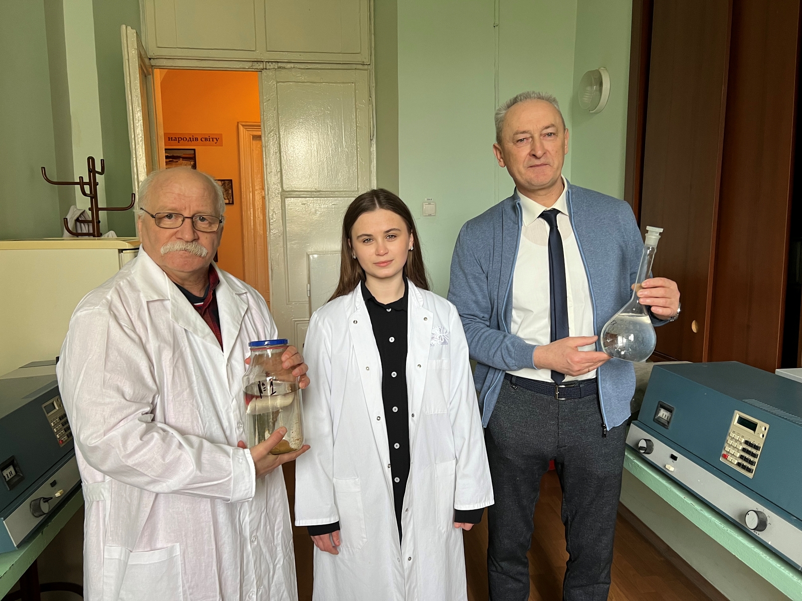
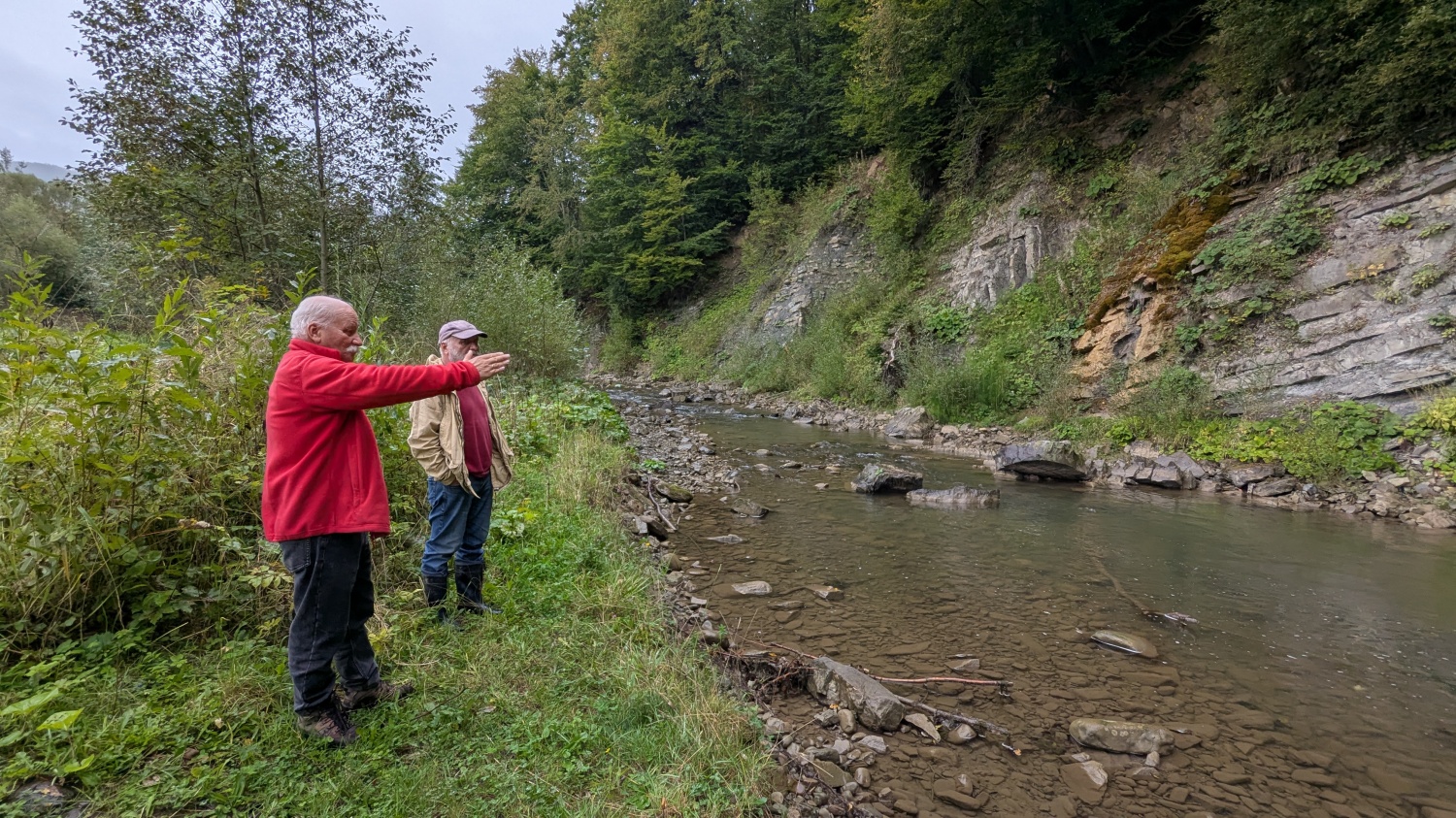
- October 2024 – Ihor and Kateryna analyzed water collected from the Sukel’ River and discovered that the water was cleaner than expected.
- May 2024 – The team mapped the opposite side of the river from the Dovbush Rocks, and discovered an illegal construction dump near the village of Polianytsia as well as a lower environmental impact from recreational activity due to lack of recreational infrastructure.
- April 2024 – The team worked to map the geologic outcrops and spontaneous dumps farther up-river, with dumps identified near the village of Kozakivka. Additionally, they identified significant erosion of topsoil due to unregulated use of horses, ATVs, and motocycles near the Dovbush Rock Formation.
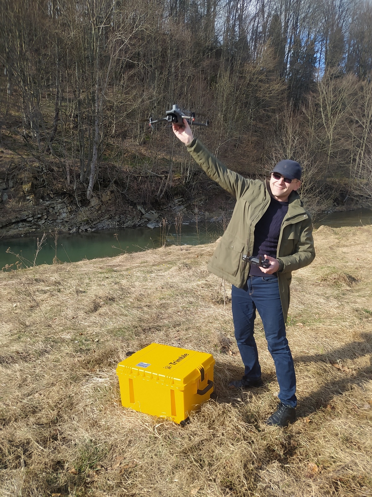
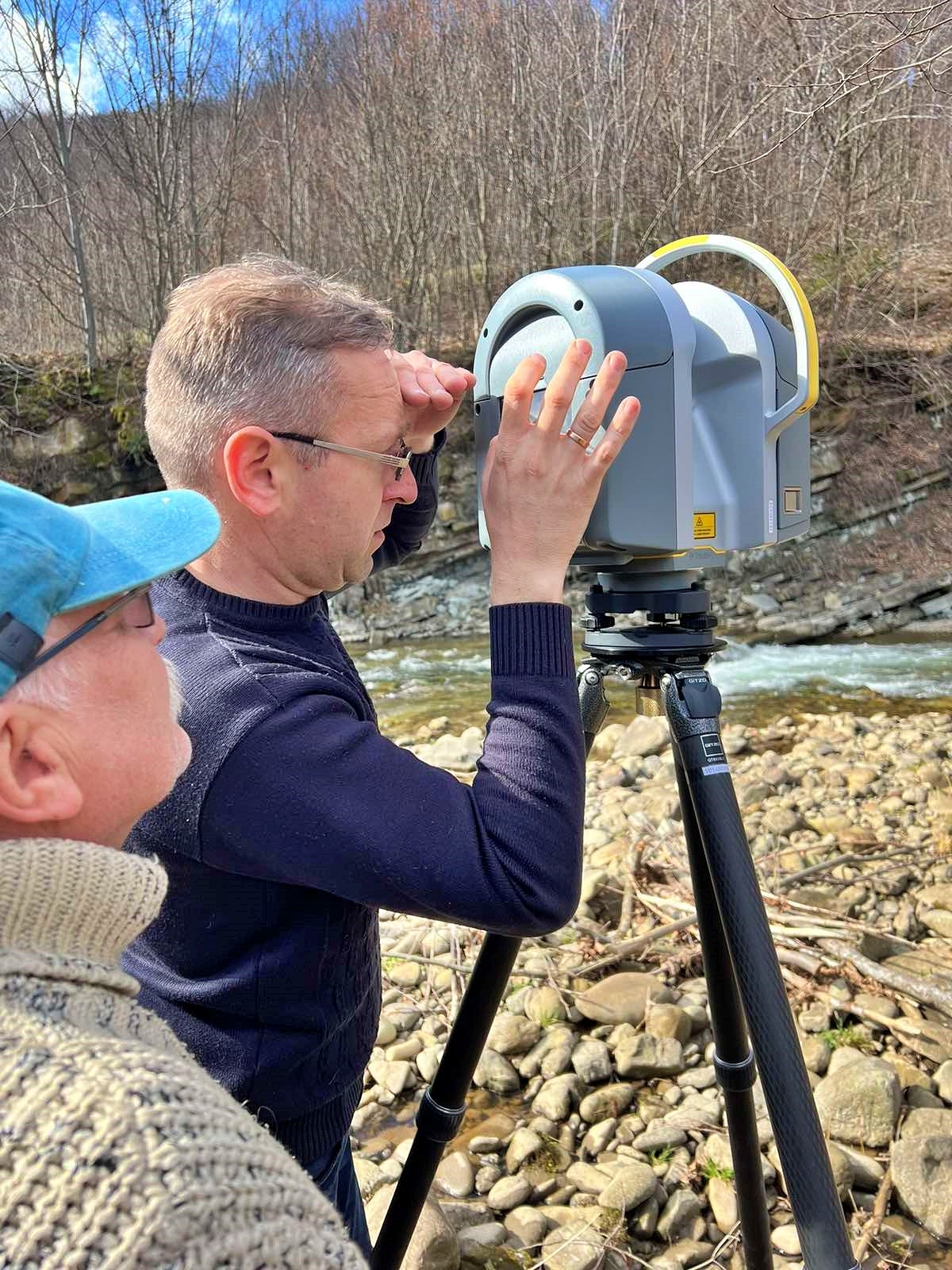
- March 2024 – Ihor, Andrij, Anatolii, and Kateryna surveyed the Sukel’ River in the Bolekhiv area via laser scanning and drones. Additionally, they spoke with the sawmill owner Mykola to discuss managing water pollution from the mill.
- January 2024 – The Clean River project began, with Dr. Ihor Bubniak and his team from Lviv Polytechnic visitng the Precarpathian Professional College of Forestry and Tourism in Bolekhiv as well as the Bolekhiv City Council to discuss the project and its goals.
People
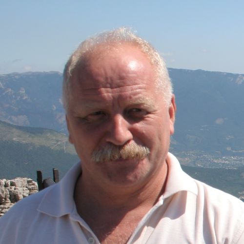
Ihor Bubniak
Project Co-Lead
Lviv Polytechnic
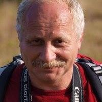
Andrii Bubniak
Project Co-Lead
Lviv Polytechnic
Anatolii Vivat
Technologist
Lviv Polytechnic
Kateryna Boiko
BS Student
Lviv Polytechnic
Yuriy Chernevyi
Community Liaison
Precarpathian Professional College of Forestry and Tourism